 ORMA
the churches and the Volta lighthouse above Como
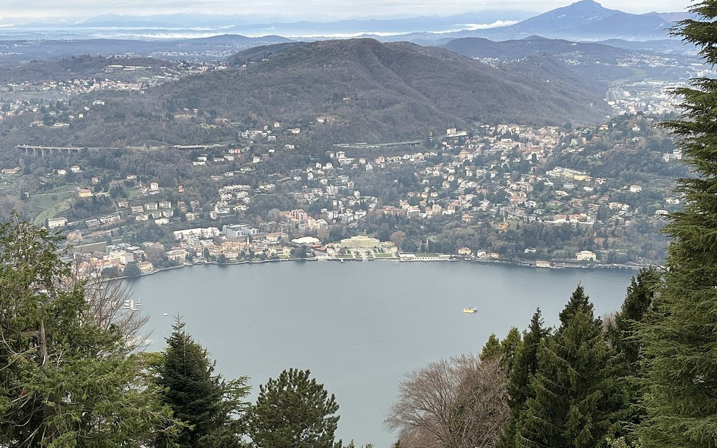
A loop round the churches and chapels of Brunate, above Como, up an old mule track to San Maurizio and the Volta lighthouse. The portal lists 5.49 km and 300 m of ascent.
Snow is possible here from December to February.
Estimated from the walk’s high point (940 m). No tourist board publishes this walk’s season, and every winter is different.
The via Laghetto car park, Brunate, the published start
Directions: From the via Laghetto car park along via Civiglio to the chapel of the Madonna della Pace, right to via Fraccia and through the old centre past the Madonna di Pompei church and the chapel of the Madonna dell’Accoglienza (via Monti, via Volta); down via Attilio Pirotta to via Parco Nidrino and the Sacro Cuore church; up via Nidrino to via Roma and the Lourdes grotto; via Pissarottino, the steps to via ai Zocc and the mule track (via Mulattiera per San Maurizio) to San Maurizio; up to the Faro Voltiano and the Tre Croci, back to the church and up the mule track to the Cao; then the path towards Civiglio, down the concrete via alla Spessa past the chapel of Sant’Antonio Abate and back to via Laghetto.
From ORMA's route audit of the official route description. Follow the mapped ORMA line and local signs.
Start at the via Laghetto car park in Brunate (or ride the Como–Brunate funicular up): 5.5 km and 300 m of climbing, about three hours with the stops. Keep your dog on a lead of at most 1.5 m and carry a muzzle. The Volta lighthouse has a 143-step spiral stair; leave your dog with someone at the bottom.
The trail rating above describes the mountain, and it's the same for every dog. How it suits yours depends on their build, age and health. See this route's match — scored for a medium dog until you add your own, free and in a minute.
Before you go: the dog safety guide · water for dogs on trail · dogs on cable cars · meeting a guardian dog
