 ORMA
the viewpoint over all three arms of the lake
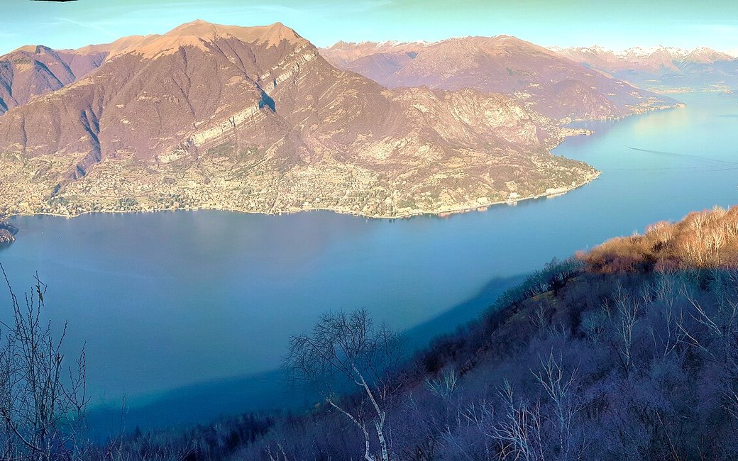
A loop from Brogno above Bellagio up to the Nuvolone viewpoint, the “most beautiful place in the world” over all three arms of the lake, and back through the woods by Rovenza. The portal lists 7.9 km and 679 m of ascent.
Snow is possible here from December to February.
Estimated from the walk’s high point (1049 m). No tourist board publishes this walk’s season, and every winter is different.
Brogno, Bellagio, the published start
Directions: From Brogno, on the SP41 Vallassina road, take the lane left off the main road and soon the path climbing steeply left, following the signs for the Belvedere del Nuvolone: almost 500 m of climbing in 2 km to the viewpoint. On more gently to the fork for the summit of Monte Nuvolone (1,092 m); keep left for the Bocchetta del Nuvolone (938 m) and do not take the short, rough summit path. At the bocchetta follow the signs for Monte San Primo across a small clearing and through the wood to some buildings below Ceppo del Mucchio, then down the steep concrete road in hairpins to the tarmac; left towards Rovenza to the first hairpin, then straight on along the dirt mule track signed for Brogno, through the wood to a votive chapel; left round it and down the path back to Brogno.
From ORMA's route audit of the official route description. Follow the mapped ORMA line and local signs.
Start in Brogno on the road from Asso to Bellagio: 7.9 km and about 680 m of climbing, three and a half hours. The first climb is steep: let your dog rest. No water is mapped on the way: carry enough for your dog. Keep your dog on a lead of at most 1.5 m and carry a muzzle.
The trail rating above describes the mountain, and it's the same for every dog. How it suits yours depends on their build, age and health. See this route's match — scored for a medium dog until you add your own, free and in a minute.
Before you go: the dog safety guide · water for dogs on trail · dogs on cable cars · meeting a guardian dog
