 ORMA
the climb from Lago dei Caprioli to the Baselga shelter
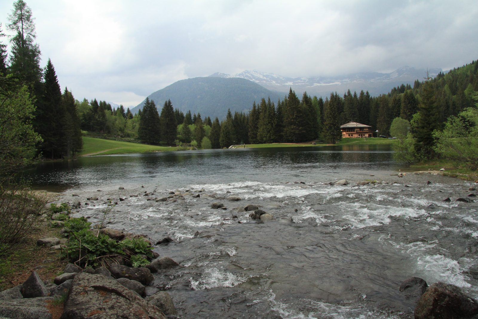
A demanding climb from the Lago dei Caprioli through larch woods into the wild Val Baselga to a bivouac at 2,000 m, with views of the Cevedale. The APT lists 6.9 km and 740 m of ascent.
Recommended from May to October.
Source: Outdooractive, read on 6 November 2026.
March to April: pine processionary caterpillars come down from the pines below about 1400 m, and they are a danger to dogs. Keep your dog away from pines and from the caterpillars.
Source: Province of Trento, forestry service, read on 9 November 2026.
June to September (an estimate): cows may be out on the pastures. Keep your dog close and give the herds a wide berth.
Source: South Tyrol tourist board, read on 9 November 2026.
Località Fazzon – Malga Bassa, by the Lago dei Caprioli, the APT’s start
Directions: Not a numbered route on the APT page: from Malga Bassa by the Lago dei Caprioli first on an easy forest road, then up a rough, steep path through larch and stone-pine woods with rhododendron; at about 2,000 m a view of the Vioz and Cevedale and the Val di Peio; a few more steps to the bivouac in a hollow of the Val Baselga, a small green basin with granite peaks and a stream; back down the same way to the lake.
From ORMA's route audit of the official route description. Follow the mapped ORMA line and local signs.
Start at Malga Bassa by the Lago dei Caprioli: 6.9 km and about 740 m of climbing, four and a half hours. The upper path is steep and rough, so it suits fit dogs used to mountain paths. Carry water: none is mapped on the way. In autumn the larches turn gold.
The trail rating above describes the mountain, and it's the same for every dog. How it suits yours depends on their build, age and health. See this route's match — scored for a medium dog until you add your own, free and in a minute.
Before you go: the dog safety guide · water for dogs on trail · dogs on cable cars · meeting a guardian dog
