 ORMA
a flat hamlet road facing the Aravis
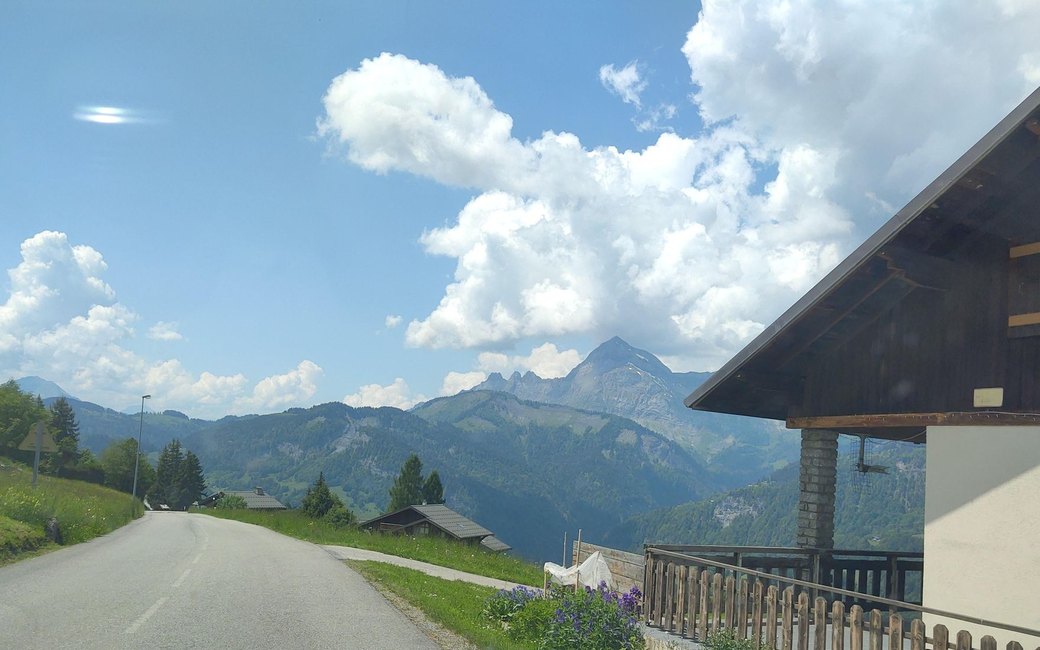
An easy, flat walk on a quiet communal road between the hamlets of Cohennoz and Crest-Voland, past the Cernix pond and the Ainoz mill and through hay meadows facing the Aravis, to Paravy and back. The official page lists 4.7 km, 40 m up and 40 m down, about two hours.
Snow is possible here from December to February.
Estimated from the walk’s high point (1277 m). No tourist board publishes this walk’s season, and every winter is different.
Place du Cernix, Cohennoz, one of the two starts the board gives
Start at the Place du Cernix in Cohennoz, where there is parking and a drinking fountain; the board also allows starting from Paravy at the other end.
Route: Follow the communal road of Bel’Avoine towards Paravy, past the Cernix pond and the Ainoz mill, between the hamlets of Cohennoz and Crest-Voland and through hay meadows with views of the Aravis. At the hamlet of Paravy turn round and come back the same way to the Cernix.
Key turns: No turnings: the walk stays on the one communal road; turn round at Paravy.
Start at the Place du Cernix in Cohennoz (drinking fountain at the start): 4.7 km there and back, almost flat, about two hours. The road is quiet but cars do pass: lead on. Open mid-May to mid-November; no shade, so go early on hot days.
The trail rating above describes the mountain, and it's the same for every dog. How it suits yours depends on their build, age and health. See this route's match — scored for a medium dog until you add your own, free and in a minute.
Before you go: the dog safety guide · water for dogs on trail · dogs on cable cars · meeting a guardian dog