 ORMA
the archaeology trail
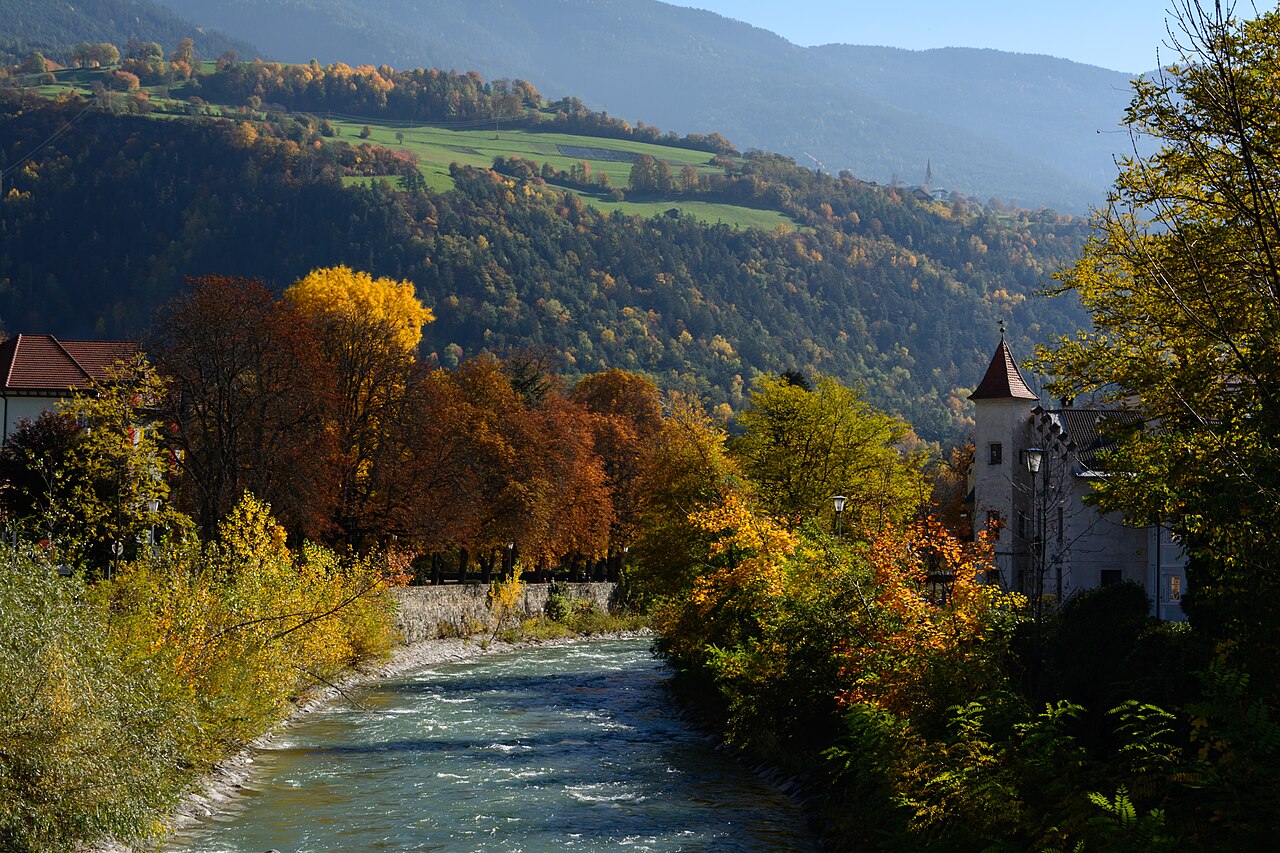
An archaeology trail above Brixen: from the Adlerbrücke up through the old Stufels quarter and the vineyards to Elvas and the Pinazbühel lookout, past the sites of prehistoric and Roman finds, and back down through the vineyards. The official route lists 5.1 km and 286 m of ascent.
Snow is possible here from December to February.
Estimated from the walk’s high point (844 m). No tourist board publishes this walk’s season, and every winter is different.
March to June: ticks in the woods below about 1200 m, most of all from late May to mid-June. Check your dog after the walk.
Source: Province of Trento and Fondazione Edmund Mach, read on 9 November 2026.
June to August: the valleys are hot, with average daily highs of about 30 °C in Bozen. Dogs bear heat badly: walk early in the morning or in the evening, and carry water.
Source: Province of Bolzano weather service, Bozen station temperatures, read on 10 November 2026. Swiss Federal Food Safety and Veterinary Office (BLV), read on 10 November 2026.
December to February (an estimate): the roads and lanes on this walk may be salted when they ice over. Salt hurts dogs’ paws: check them after the walk and rinse them with warm water.
Source: Province of Bolzano weather service, Bozen station temperatures, read on 10 November 2026. German Federal Chamber of Veterinarians, read on 10 November 2026.
Adlerbrücke (Ponte Aquila), Stufels side, Adlerbrücke bus stop
Directions: From the Adlerbrücke climb through the Stufels lanes and vineyards to the Guggerhof car park, follow path 1 up to Elvas with a short side trip to the Pinazbühel lookout (path 10), then from Elvas church follow path 2 down, cross the Elvaser Straße and take the farm road south through the vineyards back to Brixen.
From ORMA's route audit of the official route description. Follow the mapped ORMA line and local signs.
A 5 km loop from the Adlerbrücke through Stufels and the vineyards to Elvas and the Pinazbühel lookout, with history boards on the way: 286 m of climbing, about an hour and a half. Keep your dog on a short lead in Stufels and Elvas, and on the track through the vineyards, where dogs are not allowed. The slope is very sunny: go early or late in summer and fill up at the fountain by Elvas church.
The trail rating above describes the mountain, and it's the same for every dog. How it suits yours depends on their build, age and health. See this route's match — scored for a medium dog until you add your own, free and in a minute.
Before you go: the dog safety guide · water for dogs on trail · dogs on cable cars · meeting a guardian dog
