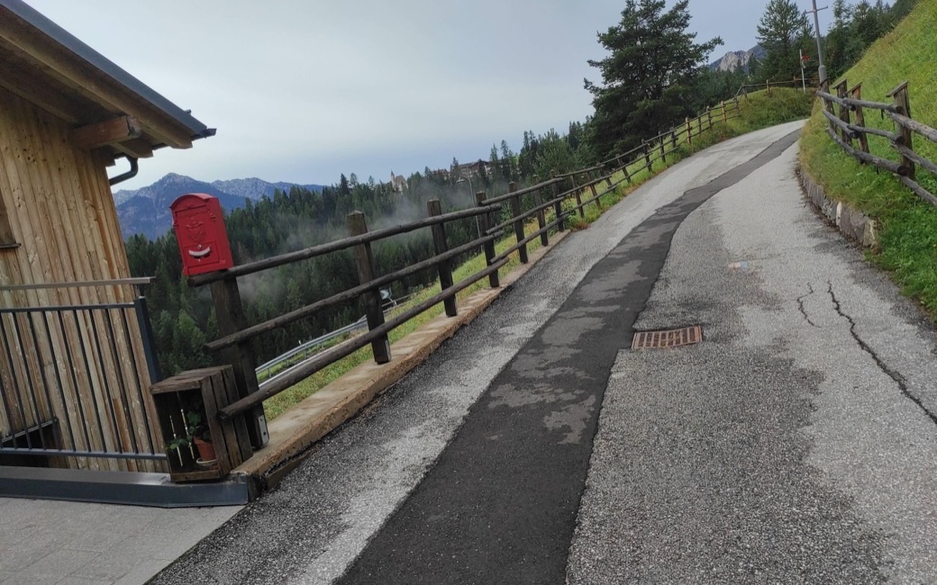
A loop from Vigo di Fassa on the old shepherds’ tracks to the hamlets of Vallonga and Tamion, with their 18th-century church and restored barns. The APT lists 7.2 km and 245 m of ascent.
Distance
7.2 km
Elevation gain
245 m
Highest point
1540 m
Duration
2 h 15 min
Terrain
Gravel farm tracks and hamlet lanes; trekking-pram friendly
Trail rating
Caution terrain
Area
Vigo – Vallonga – Tamion, San Giovanni di Fassa / Sèn Jan · Dolomites, Italy
March to April: pine processionary caterpillars come down from the pines below about 1400 m, and they are a danger to dogs. Keep your dog away from pines and from the caterpillars.
This walk has no trail number of its own: follow these landmarks
Start at the tourist office in Strada Rezia, Vigo, the tourist board’s start.
From the tourist office in Strada Rezia, head towards the Passo Carezza (Costalunga) as far as the bridge over the Ruf de Vael. Take Strada de Pontac on the right, up the stream bank. After the last house it turns to gravel.
At the fork keep left and cross the footbridge a little upstream. A fine stretch of panoramic path leads to a hollow; carry on gently up, then level, to a picnic area with benches, tables and children’s games.
On the far side of the clearing go down left on the tarred road until it meets the lane to Valongia. Walk to the hamlet and up to the chapel of San Giovanni Nepomuceno, where you go left.
Cross the main road obliquely and go down to the “Grave”, a run of small valleys with streams: cross them with care, as there can be ice. After the second stream keep right, then climb steadily to a gravel road and follow it to the right. In a few minutes you are in Tamion.
From the church, follow Strada de Tamion to the south end of the hamlet, then turn left onto the path towards Vigo. Cross the wooden footbridge over the Ruf de Pociole and you soon reach Larcioné.
Enter on Strada de Pociole, turn right and straight away left, past the last houses, onto the country lane from Soraga. Turn right into Strada dal Dos and follow the path, in places beside the main road, back to the centre.
Start in Strada Rezia in Vigo: 7.2 km, about 250 m of climbing, two hours and a quarter. Keep your dog on a short lead (1.5 m at most) past the farms and carry a muzzle. Fountains in Vigo and in the hamlets.
Verified by ORMA on 26 Oct 2026. Check current conditions before setting out.
Is this trail right for your dog?
The trail rating above describes the mountain, and it's the same for every dog. How it suits yours depends on their build, age and health. See this route's match — scored for a medium dog until you add your own, free and in a minute.
 ORMA