 ORMA
the farm-slope walk from Antermoia to Rina
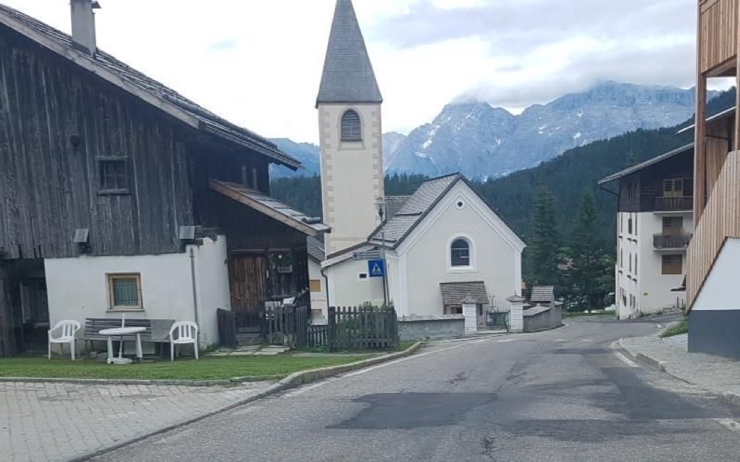
A walk from Antermoia over the sunny farm slopes of Colac and Val and through the forest to Rina. The board lists 5.5 km, 143 m up and 222 m down.
Recommended from March to October.
Source: Outdooractive, read on 6 November 2026.
The sports ground in Antermoia, the board’s start
Start beside the sports ground in Antermoia, where path 20 begins.
Trail numbers and route: Path 20 climbs, sunny and with wide views, to the Colac farms. Follow the road down, keeping left, to the Val farms. Then path 20A, the Michael Plattner path, crosses the wood and a wooden bridge; from there go left on the road to Rina.
Where to switch: At the Colac farms take the road down, keeping left. At the Val farms take path 20A. After the wooden bridge turn left onto the road to Rina.
Start at the sports ground in Antermoia: 5.5 km one way, about 145 m up and 220 m down, an hour and a half; come back the same way. Keep your dog on a lead of at most 1.5 m and carry a muzzle, and keep off the hay meadows round the farms. Water at the start; a bar in Rina at the end.
The trail rating above describes the mountain, and it's the same for every dog. How it suits yours depends on their build, age and health. See this route's match — scored for a medium dog until you add your own, free and in a minute.
Before you go: the dog safety guide · water for dogs on trail · dogs on cable cars · meeting a guardian dog