 ORMA
the loop between Malga Confin and Malga Ungarina
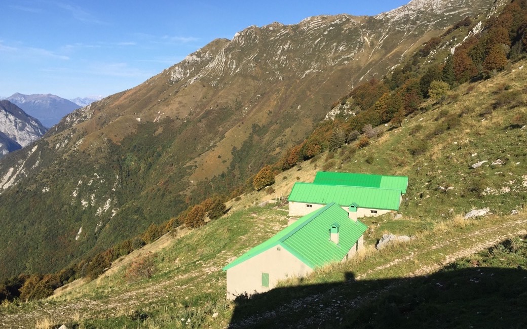
A short loop over the flowery high pastures of Monte Plauris between Malga Confin and Malga Ungarina, with views of the Tagliamento valley. PromoTurismoFVG lists 4.7 km and 401 m of ascent.
Snow is likely here from December to April.
Estimated from the walk’s high point (1665 m). No tourist board publishes this walk’s season, and every winter is different.
Malga Confin, on the southern slopes of Monte Plauris, the board’s start
Directions: Paths CAI 702a and 702: from Malga Confin across the wide pastures and gentle ridges on the southern side of Monte Plauris to Malga Ungarina, and back round to Malga Confin. (The continuation to the summit of the Plauris, with sections graded EE, is not part of this walk.)
From ORMA's route audit of the official route description. Follow the mapped ORMA line and local signs.
Start at Malga Confin: 4.7 km and about 400 m of climbing, just over two hours. Keep your dog on a lead, as the park requires, and carry a muzzle. No shade: bring water and avoid hot afternoons. Malga Confin sells its cheese and serves food.
The trail rating above describes the mountain, and it's the same for every dog. How it suits yours depends on their build, age and health. See this route's match — scored for a medium dog until you add your own, free and in a minute.
Before you go: the dog safety guide · water for dogs on trail · dogs on cable cars · meeting a guardian dog