 ORMA
the loop round the Lago di Verzegnis
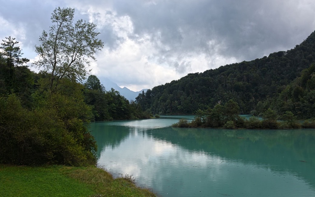
A short loop round the eastern arm of the Lago di Verzegnis, across the Ambiesta dam and back through the woods over suspension bridges, with views of Monte Amariana. PromoTurismoFVG lists 2.6 km and 93 m of ascent.
Recommended all year.
Source: Outdooractive, read on 7 November 2026.
Car park by the bridge over the Lago di Verzegnis, via Ambiesta below Chiaicis, the board’s start
Directions: White and green waymarks, no route number: across the bridge from the car park, then left at the sign along the shore path to near the dam crest (a branch climbs to a viewpoint); across the 140 m crest of the Ambiesta dam, then up the tarred via Panias for about 150 m and left into the woods on the marked path over several suspension bridges back to the start. To avoid the bridges, stay on the road up to Chiaicis and walk back down to the car park.
From ORMA's route audit of the official route description. Follow the mapped ORMA line and local signs.
Start at the car park by the bridge below Chiaicis: 2.6 km and about 90 m of climbing, an hour and a half. Keep your dog on a lead of at most 80 cm, and muzzle a large or shepherd breed. The suspension bridges on the way back have no side rails: if your dog is unsure, cross the dam and walk back by the road via Chiaicis. Avoid it in wet or icy weather; there is almost no water on the way.
The trail rating above describes the mountain, and it's the same for every dog. How it suits yours depends on their build, age and health. See this route's match — scored for a medium dog until you add your own, free and in a minute.
Before you go: the dog safety guide · water for dogs on trail · dogs on cable cars · meeting a guardian dog
