 ORMA
the hills ring
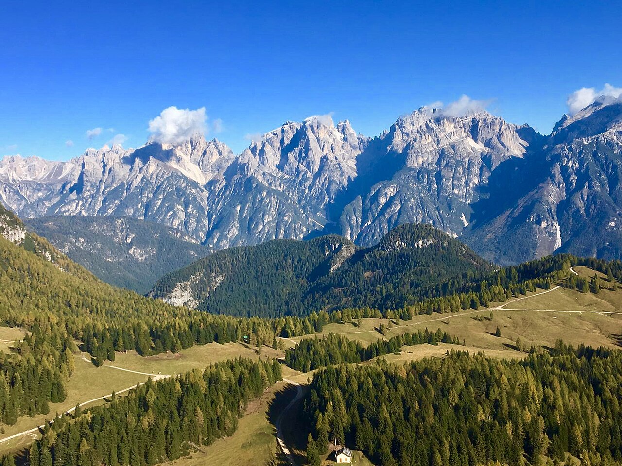
A gentle loop on waymark 33 across the Pian dei Buoi hills above Lozzo di Cadore, past First World War forts, trenches and the Casera delle Armente, with wide views over the summer pastures. The official leaflet gives about 4.5 km and 100 m of ascent; the mapped loop measures 5.3 km.
Snow is likely here from December to April.
Estimated from the walk’s high point (1864 m). No tourist board publishes this walk’s season, and every winter is different.
June to September (an estimate): cows may be out on the pastures. Keep your dog close and give the herds a wide berth.
Source: South Tyrol tourist board, read on 9 November 2026.
Bivio dei Pellegrini, beside the small Pellegrini car park (Pian dei Buoi)
Park at Bivio Pellegrini, where there is a fountain, and follow waymark 33 round the hills past the Col Vidal forts and Casera delle Armente: about 5.3 km with 100 m of climbing and an hour and a half of walking (a time worked out by ORMA; no official one is published). Keep your dog on a lead throughout, as Lozzo di Cadore requires on its trails, and expect grazing cattle in summer. There is no other water, so carry plenty; the access road is one-way by timetable in July and August.
The trail rating above describes the mountain, and it's the same for every dog. How it suits yours depends on their build, age and health. See this route's match — scored for a medium dog until you add your own, free and in a minute.
Before you go: the dog safety guide · water for dogs on trail · dogs on cable cars · meeting a guardian dog
Planning a few days here? Read our area guide: Lago di Braies & Tre Cime with a dog.
