 ORMA
the forest loop from Frassenetto to Casera Vas
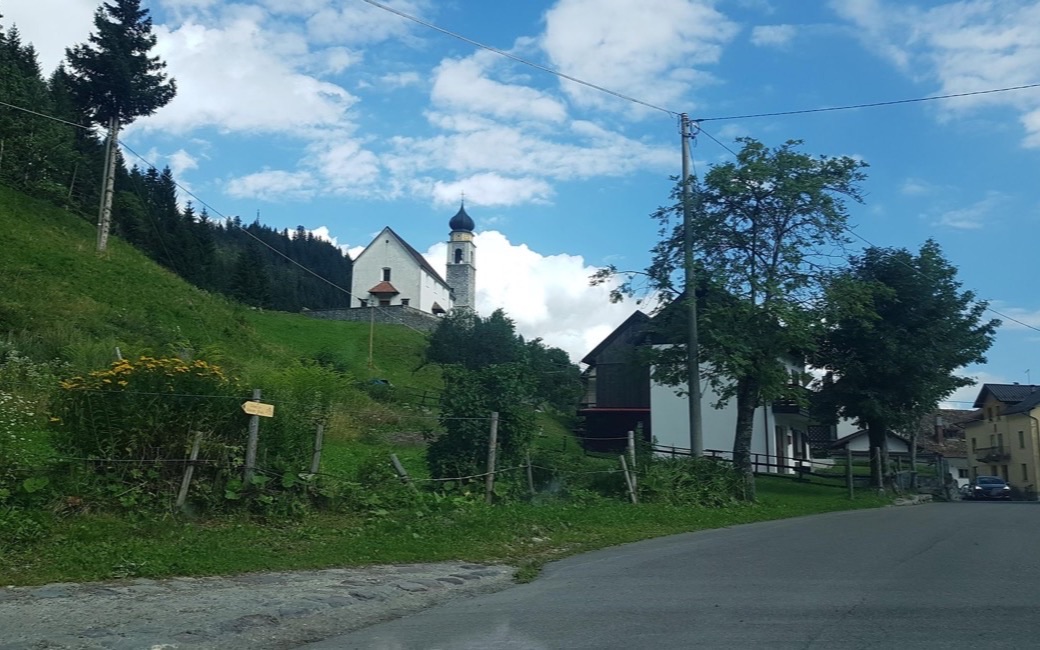
A long forest loop from Frassenetto in the upper Val Degano to the summer pastures of Casera Vas and Casera Monte dei Buoi, among larch, fir and big limestone boulders. PromoTurismoFVG lists 11.1 km and 659 m of ascent.
Snow is likely here from December to April.
Estimated from the walk’s high point (1724 m). No tourist board publishes this walk’s season, and every winter is different.
Frassenetto, Forni Avoltri, the board’s start
Directions: No route number given: from the square in Frassenetto on the forest track opposite, along the right side of the Rio Frassenetto, across the stream at 1,149 m and up in wide bends through the forest to the wooded ridge of Monte Vas; at the fork at 1,550 m (near the Pozzo di Suttul spring) right to Casera Vas (1,607 m) in its clearing, on to the boulder-strewn pasture of Casera Monte dei Buoi, and back down to Frassenetto.
From ORMA's route audit of the official route description. Follow the mapped ORMA line and local signs.
Start in Frassenetto above Forni Avoltri: 11.1 km and about 660 m of climbing, nearly four hours. Keep your dog on a lead near the herds and in the hamlet, and carry a muzzle. Casera Vas can be used as a shelter. A summer walk: not in snow or ice.
The trail rating above describes the mountain, and it's the same for every dog. How it suits yours depends on their build, age and health. See this route's match — scored for a medium dog until you add your own, free and in a minute.
Before you go: the dog safety guide · water for dogs on trail · dogs on cable cars · meeting a guardian dog