 ORMA
the loop to two Gailtal cheese alps from the Sonnenalpe Nassfeld
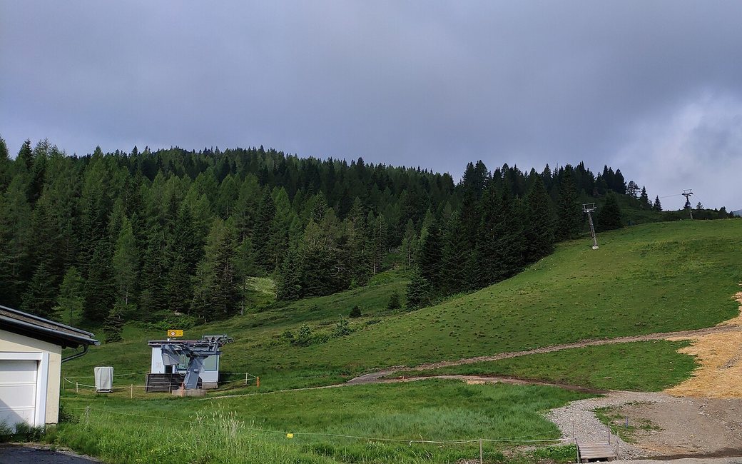
A loop from the Sonnenalpe Nassfeld across the summer pastures to two alpine dairies that make Gailtaler Almkäse. The board lists 8.7 km and 295 m of ascent.
Snow is likely here from December to April.
Estimated from the walk’s high point (1713 m). No tourist board publishes this walk’s season, and every winter is different.
In winter, 1.9 km of this walk is a ski run (Dreierliftabfahrt, Tröglabfahrt, Millennium-Abfahrt). Expect skiers there while the runs are open, usually from December to April (an estimate).
Read off the map (OpenStreetMap).
the Sonnenalpe Nassfeld on the Nassfeld pass road (B90), the board’s start
Directions: From the Sonnenalpe Nassfeld along the Tressdorfer Almweg and the alp tracks and paths across the pastures to two cheese alps, and back to the Sonnenalpe, with short stretches beside the Nassfeld pass road (B90).
From ORMA's route audit of the official route description. Follow the mapped ORMA line and local signs.
Start at the Sonnenalpe Nassfeld on the Nassfeld pass road (B90): 8.7 km and about 295 m of climbing, about 2:30 h. The loop crosses grazed alpine pastures and Carinthian law asks for a lead at all times in open country, so keep your dog on a short lead throughout. The Sonnenalpe can be reached by car over the Nassfeld pass road (B90). Carry a muzzle for buses.
The trail rating above describes the mountain, and it's the same for every dog. How it suits yours depends on their build, age and health. See this route's match — scored for a medium dog until you add your own, free and in a minute.
Before you go: the dog safety guide · water for dogs on trail · dogs on cable cars · meeting a guardian dog
