 ORMA
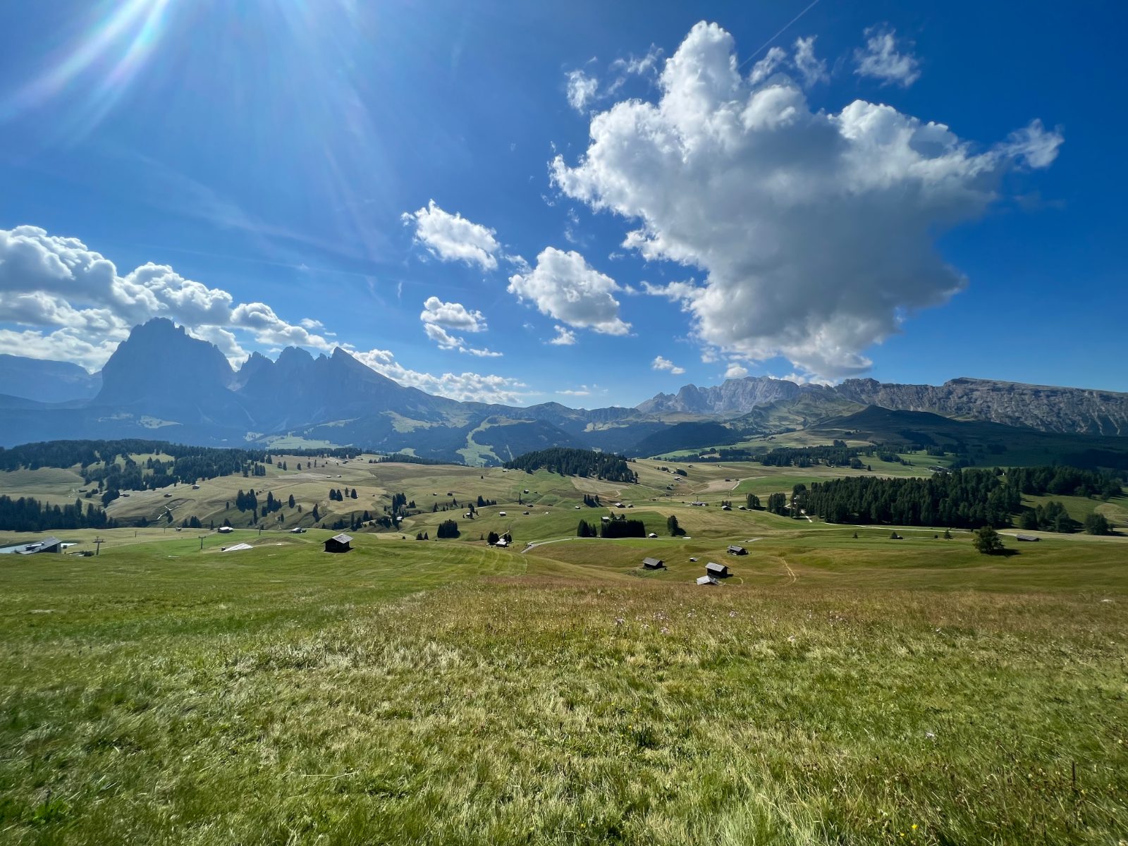
A loop from Compatsch on trails 7, 6 and 30, on wide gravel and paved paths that hiking guides describe as fine even for all-terrain strollers. Europe's largest high-alpine meadow, gently rolling and wide open.
Snow is likely here from December to April.
Estimated from the walk’s high point (1950 m). No tourist board publishes this walk’s season, and every winter is different.
The Seiser Alm cable car (Seis – Compatsch) runs from 22 May to 2 November (2026 dates; winter dates not yet published). The walk does not need it.
Source: Seiser Alm Marketing, read on 9 November 2026.
December to February (an estimate): the roads and lanes on this walk may be salted when they ice over. Salt hurts dogs’ paws: check them after the walk and rinse them with warm water.
Source: Province of Bolzano weather service, Bozen station temperatures, read on 10 November 2026. German Federal Chamber of Veterinarians, read on 10 November 2026.
Suggested start, Compatsch, main gondola station and trailhead. Check current access before travelling.
Start at Compatsch, the mountain station of the Alpe di Siusi gondola. The numbered paths leave from the square by the Franziskuskirche (Chiesa San Francesco), which is also where path 30 is signed.
Trail numbers and route: Leave Compatsch southward on path 7, the gravel track signed towards Rifugio Molignon, and follow it down across the open meadow to about 1,800 m, passing below the Alpenhotel Panorama. Keep on 7 as it swings east. At the eastern end of the loop, where path 6 comes in, turn north and join path 30, the Hans und Paula Steger Weg. Follow 30 back west along the forest edge and through the meadows, with the Sassolungo and Sasso Piatto ahead, to the Franziskuskirche and Compatsch.
Where to switch: Two changes. At the eastern end of the loop leave path 7 where path 6 joins, and take path 30 north-west: this is the turn that makes the walk a loop rather than an out-and-back. Then stay on 30 all the way back to Compatsch — do not follow it east towards Ritsch-Schwaige and Saltria, which is the continuation of the Steger Weg and a longer, one-way walk needing the bus back.
Do not rely on potential water locations being available or drinkable. Carry enough for the full walk.
Multiple entry points; go early to find free parking, or take the cable car up from Ortisei/Siusi. This loop skips the longer Saltria detour some guides include via trail 9, it's the shorter, easier variant of that bigger circuit.
The trail rating above describes the mountain, and it's the same for every dog. How it suits yours depends on their build, age and health. See this route's match — scored for a medium dog until you add your own, free and in a minute.
Before you go: the dog safety guide · water for dogs on trail · dogs on cable cars · meeting a guardian dog