 ORMA
down the mule track beside the Bernina railway
A short downhill walk between two stations of the Bernina railway: from Alp Grüm, with the Palü glacier in front of you, down the old mule track past Stablini and La Dota to Cavaglia. The board lists 3 km, 1 m up and 392 m down, 55 min.
Snow is likely here from November to May.
Estimated from the walk’s high point (2092 m). No tourist board publishes this walk’s season, and every winter is different.
Alp Grüm station on the Bernina railway, the board’s start
Start: Take the Bernina railway to Alp Grüm and start at the station, the board’s start; Alp Grüm can only be reached by train or on foot.
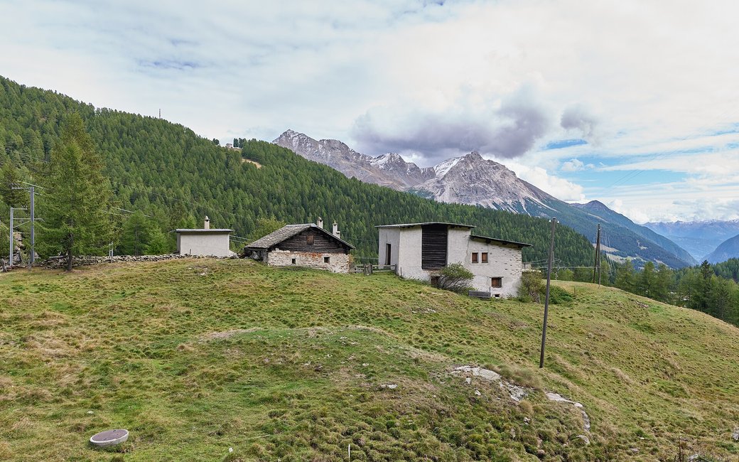
Route: Walk past the station building and take the trail that goes down to the right towards Cavaglia. The wide mule track drops through larch and stone-pine forest and meadows, close to the railway line, which it crosses on the way down. It passes the alp huts at Stablini at about km 0.9 and the meadows of La Dota, then comes out in the hamlet of Cavaglia at about km 2.6. Walk on through the hamlet to Cavaglia station, where the walk ends and the train runs back up or down the valley.
Key turns: Key turns: just past Alp Grüm station take the trail down to the right; then stay on the mule track past Stablini and La Dota to Cavaglia station.
Take the Bernina railway to Alp Grüm and walk 3 km down to Cavaglia, 392 m down, about an hour, then take the train back. Keep your dog on a lead: the walk is in a federal hunting reserve. No drinking water mapped: bring water. Food at Alp Grüm and Cavaglia stations.
The trail rating above describes the mountain, and it's the same for every dog. How it suits yours depends on their build, age and health. See this route's match — scored for a medium dog until you add your own, free and in a minute.
Before you go: the dog safety guide · water for dogs on trail · dogs on cable cars · meeting a guardian dog
