 ORMA
across the Adige to the waal path
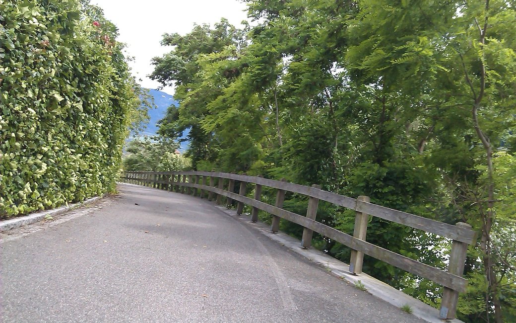
A walk from Algund across the Adige to Forst and up to the Marlinger Waalweg and Höhenweg, round by the Rastbichlhof and Josefsberg and back along the Waalweg. The board lists 8.2 km, 295 m up and 295 m down, 2 h 24.
Recommended all year.
Source: Outdooractive, read on 6 November 2026.
March to June: ticks in the woods below about 1200 m, most of all from late May to mid-June. Check your dog after the walk.
Source: Province of Trento and Fondazione Edmund Mach, read on 9 November 2026.
June to August: the valleys are hot, with average daily highs of about 30 °C in Bozen. Dogs bear heat badly: walk early in the morning or in the evening, and carry water.
Source: Province of Bolzano weather service, Bozen station temperatures, read on 10 November 2026. Swiss Federal Food Safety and Veterinary Office (BLV), read on 10 November 2026.
The village centre of Algund, the board’s start
Start in the centre of Algund, the board’s start, and walk to the Algund open-air pool.
Route: Cross the wooden bridge over the Adige to Forst and follow Brauereistraße west to the Alperia power station. From there follow the old signs for the Marlinger Waalweg and Marlinger Höhenweg: climb the steps to the old Vinschgau state road, which has almost no traffic, cross it and take the clear path up to the Marlinger Waalweg. Follow the Waalweg east to a hiking path that climbs to the Marlinger Höhenweg, and follow it to the Rastbichlhof farm. Take the wide access road east to the former Josefsberg hotel, then go down the tarred road, number 9, to the Waalweg. Walk west along the Waalweg to the Töll hydroelectric power station, and from there return to Algund the same way you came.
Key turns: Key turns: at the Alperia power station up the steps and across the old state road; from the Waalweg up to the Höhenweg; at Josefsberg down road 9; west along the Waalweg to Töll, then back the way you came.
Start in the centre of Algund: 8.2 km there and back with a loop above Forst, 295 m up and down, about two and a half hours. Keep your dog on a lead of at most 1.5 m and carry a muzzle. Fountains in Algund at the start. Very sunny in summer: go early or late.
The trail rating above describes the mountain, and it's the same for every dog. How it suits yours depends on their build, age and health. See this route's match — scored for a medium dog until you add your own, free and in a minute.
Before you go: the dog safety guide · water for dogs on trail · dogs on cable cars · meeting a guardian dog