 ORMA
ORMA
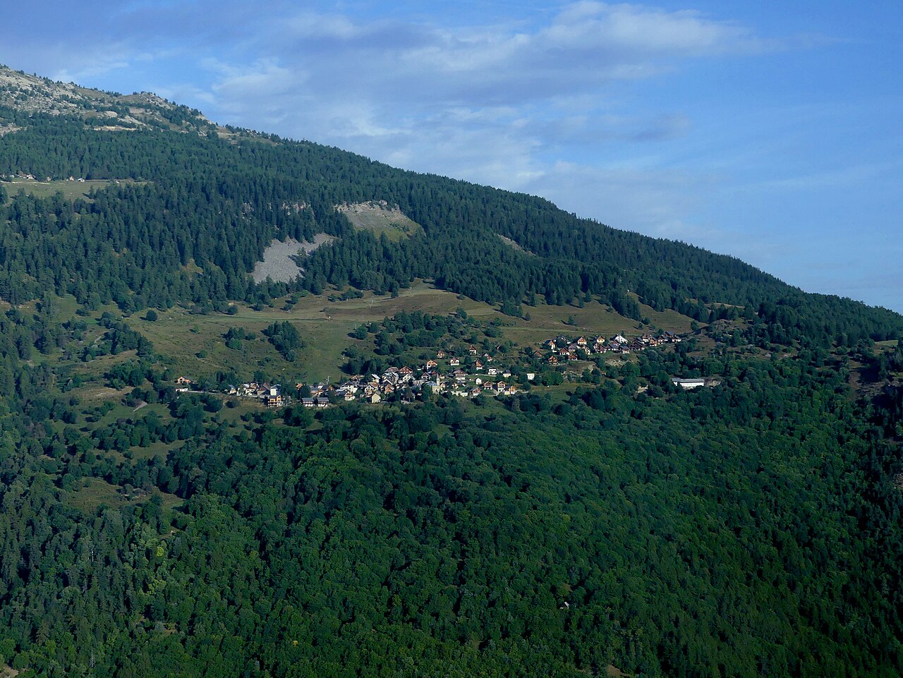
Official Les Karellis route 09: a 7.7 km loop from Les Karellis to Albanne through forest and alpine pasture, following green waymarks. The official route lists 249 m ascent and about 3½ hours.
Route 09 start at Les Karellis; the official itinerary starts from the tourist office
Start at the Les Karellis tourist office and follow green route 09 toward Albanne. The route alternates shaded forest with open alpage; carry water even though mapped taps and springs appear near Albanne and Les Karellis.
The trail rating above describes the mountain, and it's the same for every dog. How it suits yours depends on their build, age and health. See this route's match — scored for a medium dog until you add your own, free and in a minute.
Before you go: the dog safety guide · water for dogs on trail · dogs on cable cars · meeting a guardian dog
.JPG)