 ORMA
the boxwood path
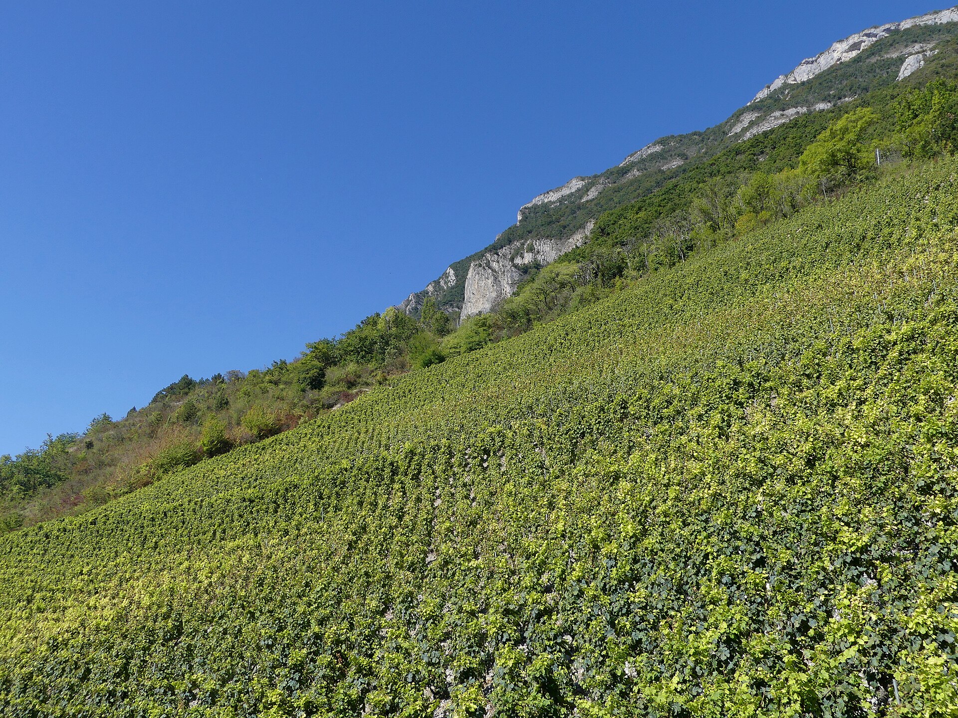
A proper half-day loop above Montmélian through the sunny side of the Combe de Savoie: the Arbin vineyards, pine and boxwood woods, the ridge with the Roc de Manettaz belvedere, and the protected dry meadow of La Générale. As drawn here it climbs first above Arbin and Cruet to the Col du Mont picnic table, follows the ridge to the belvedere, and comes down through La Générale. The official sheet describes the same loop the other way round. Officially 9.5 km and 780 m of climb, about 4h30, rated difficult. Waymarked in yellow.
Dogs are accepted, according to the official route page. Montmélian and Arbin publish no dog order, and Cruet bans only letting dogs stray, so the national rule applies: a lead in woods and fields off the paths from 15 April to 30 June. About 60% of the loop is wooded, and part of it lies in a Natura 2000 site with no dog rule.
Snow is possible here from December to February.
Estimated from the walk’s high point (1028 m). No tourist board publishes this walk’s season, and every winter is different.
Start here: cemetery car park on chemin de Beauvoir, Montmélian, heading for the Calloudes hamlet
Directions: No number: yellow waymarks (Cœur de Savoie); one switch, the branch to the Lac de la Thuile at the Col du Mont, as the official text describes.
From ORMA's route audit of the official route description. Follow the mapped ORMA line and local signs.
The belvedere at the Roc de Manettaz has an unprotected edge, signed as a danger: keep your dog close there. A lead is wise in the protected meadow of La Générale. The official sheet mentions alpine pasture, so cattle may graze on the ridge meadows in summer; no guardian-dog notice is posted. There is no water on the loop: carry enough for over four hours, and start early, because the south-facing vineyard slopes bake in summer. The first 500 m follow the chemin de Beauvoir, which has a pavement; cross the road after 100 m. At the Col du Mont a path branches off to the Lac de la Thuile (1.5 km).
The trail rating above describes the mountain, and it's the same for every dog. How it suits yours depends on their build, age and health. See this route's match — scored for a medium dog until you add your own, free and in a minute.
Before you go: the dog safety guide · water for dogs on trail · dogs on cable cars · meeting a guardian dog
