 ORMA
the viewpoint
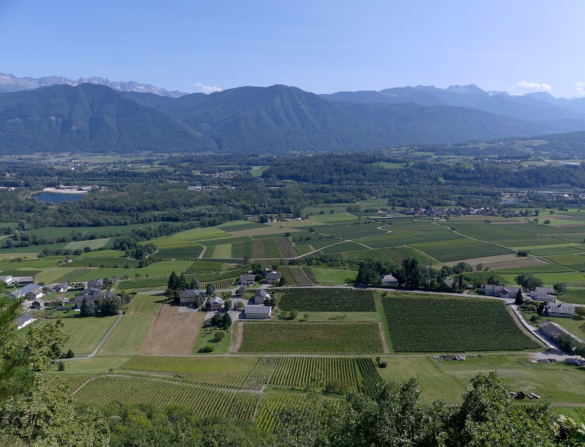
A 4.1 km loop above Saint-Pierre-d'Albigny, one of the Amicale Pédestre de l'Arclusaz trail circuits, waymarked with pink plates showing a trail-shoe print and an arrow. From the gym car park it climbs through the village and across about 700 m of meadows to the Mont-Benoît path and the belvedere (IGN marker 655) over the Combe de Savoie, then returns by Mont-Benoît, Mollard and the col du Taccon with a steep descent to La Noiriat.
No commune, park or reserve rule restricts dogs here, so the national rules apply: do not let your dog stray, and keep it on a lead in woods and fields off the paths from 15 April to 30 June. The loop crosses the D101 and the D911 twice each, and a stretch runs through the Natura 2000 site of the eastern Bauges. About half of it is wooded; the open, south-facing stretches get hot in summer.
Snow is possible here from December to February.
Estimated from the walk’s high point (678 m). No tourist board publishes this walk’s season, and every winter is different.
Gym car park, Saint-Pierre-d'Albigny (official start)
This walk has no trail number of its own: follow these landmarks
Start at the gym car park (parking du gymnase) in Saint-Pierre-d’Albigny, where the club’s trail circuits begin.
Steps marked “walking club”: Amicale Pédestre de l’Arclusaz, checked 30 October 2026.
Steps marked “walking club”: Amicale Pédestre de l’Arclusaz, checked 30 October 2026.
Start at the gym car park in Saint-Pierre-d'Albigny, by the Frontailles schools, and follow the pink trail-shoe plates in the direction of the arrows. A drinking-water point is mapped about 1 km in, and the stone basin at Mont-Benoît (about km 2.1) is a place for your dog to cool off. Keep your dog on the path through the meadows.
The trail rating above describes the mountain, and it's the same for every dog. How it suits yours depends on their build, age and health. See this route's match — scored for a medium dog until you add your own, free and in a minute.
Before you go: the dog safety guide · water for dogs on trail · dogs on cable cars · meeting a guardian dog
