 ORMA
ORMA
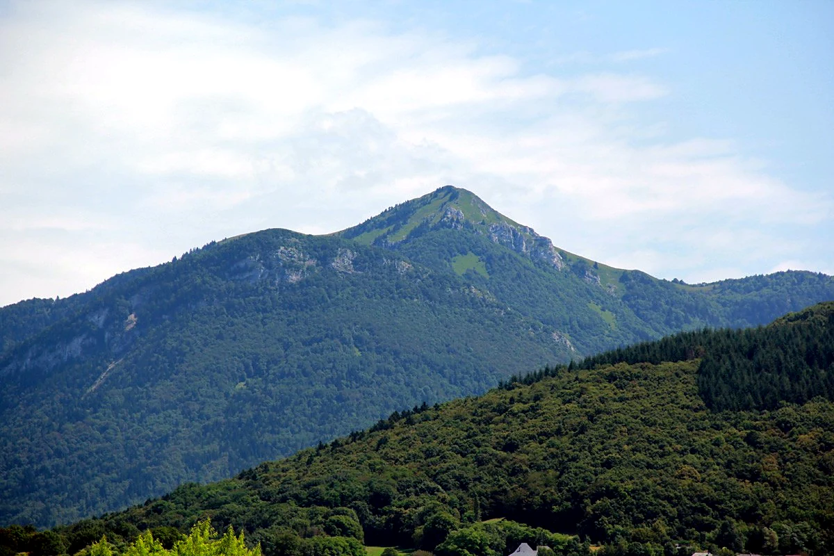
The little pyramid of the southern Bauges, climbed as a loop from Le Fournet on the Col des Prés road. The route warms up in forest, then takes a steep, sustained climb past the Chalet de l'Allier to the Buffaz alpage and its col, rolls through flower meadows where cattle summer, and tops out with an out-and-back to the Pointe de la Galoppaz before descending the grassy Combe Servenne past the Côtes de Marles chalets. Rated red (hard) by Grand Chambéry Alpes Tourisme, about 5 hours.
This is a point-to-point route, so plan the return: retrace your steps or check local buses; 640 m of gain over 8.1 km is a real climb: budget rests, and halve expectations for short-legged dogs.
Mapped start suggestion, Start here: Le Fournet parking (1,043 m), on the D206 2 km before the Col des Prés, Thoiry. Check current access before travelling.
Do not rely on potential water locations being available or drinkable. Carry enough for the full walk.
Use the live forecast, check local access information and be ready for changing mountain conditions.
The trail rating above describes the mountain, and it's the same for every dog. How it suits yours depends on their build, age and health. See this route's match — scored for a medium dog until you add your own, free and in a minute.
Before you go: the dog safety guide · water for dogs on trail · dogs on cable cars · meeting a guardian dog